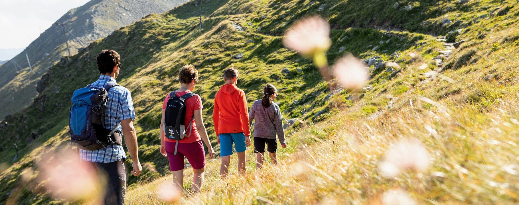
The right hiking tour in Serfaus-Fiss-Ladis for everyone
Tour planning for hiking
Every family member seeking the perfect hiking trail during their summer holiday will find that Serfaus-Fiss-Ladis fulfills all their dreams. At 1,200 to 3,000 metres above sea-level, the region stages a “theatre of summer dreams" for audiences of all ages. Explore one of the numerous fantastic themed trails for families leading through the wood and meadows or set out on an exciting journey into the past, and learn about the tricks and tactics of Serfaus’ smugglers.
You’re spoilt for choice between easy, medium and difficult hiking trails. There is something for everyone. Has the hiking buzz set in yet?
| kind of sport | name | level of difficulty | length/duration | altitude | |||
|---|---|---|---|---|---|---|---|
| Brunnenkopfsteig path (Vorderer Brunnenkopf – 2,685 m) | category: Hiking tour | Brunnenkopfsteig path (Vorderer Brunnenkopf – 2,685 m) | level of difficulty: medium | length/duration: 3.38km/2.5h |
|
||
| Falterjöchl via Langenweg trail | category: Hiking tour | Falterjöchl via Langenweg trail | level of difficulty: easy | length/duration: 3.22km/1h |
|
||
| Fiss Energy & Senses Trail | category: Hiking tour, Thematic route | Fiss Energy & Senses Trail | level of difficulty: easy | length/duration: 6.3km/2h |
|
||
| Six Senses trail | category: Hiking tour, Thematic route | Six Senses trail | level of difficulty: easy | length/duration: 6.51km/4h |
|
||
| Oberer Sattelkopf (2.596 m) starting from the Komperdell | category: Hiking tour | Oberer Sattelkopf (2.596 m) starting from the Komperdell | level of difficulty: medium | length/duration: 4.38km/3h |
|
||
| Furglersee lake (2.459 m) starting from the Komperdell - Murmeltiersteig path | category: Hiking tour | Furglersee lake (2.459 m) starting from the Komperdell - Murmeltiersteig path | level of difficulty: medium | length/duration: 6.85km/3.5h |
|
||
| Ascherhütte (2,256 m) via Blankasee lakes – Glockscharte | category: Hiking tour | Ascherhütte (2,256 m) via Blankasee lakes – Glockscharte | level of difficulty: hard | length/duration: 7.74km/5h |
|
||
| Furgler (via Tieftalsee lake) starting from the Lazid | category: Hiking tour | Furgler (via Tieftalsee lake) starting from the Lazid | level of difficulty: medium | length/duration: 3.92km/3.5h |
|
||
| Furgler (3,004 m) starting from the Komperdell | category: Hiking tour | Furgler (3,004 m) starting from the Komperdell | level of difficulty: hard | length/duration: 5.19km/4h |
|
||
| Blankasee lakes starting from the Komperdell | category: Hiking tour | Blankasee lakes starting from the Komperdell | level of difficulty: medium | length/duration: 3.86km/4h |
|


